30.09.2016
Ми раді повідомити про вихід нової версії 2016.06 карти КартБланш Україна для навігаційних програм CarteBlanche Navigator, iGO 8 та iGO Primo!

Відносно попередньої версії карти 2015.03, до нової версії внесено наступні зміни:
Таким чином, карта КартБланш Україна 2016.06 включає детальне покриття 942 населених пунктів (53,7% від населення України), у тому числі 184 міста; майже все це покриття (46,9% від населення) включає адресний пошук. Карта містить детальне покриття 11 районів Київської області (Білоцерківського, Бориспільського, Бородянського, Броварського, Васильківського, Вишгородського, Кагарлицького, Києво-Святошинського, Макарівського, Обухівського та Переяслав-Хмельницького), дворові проїзди багатьох міст. Загальна довжина дорожньої мережі складає 477 000 км, включно з великою кількістю ґрунтових доріг.
Легальні користувачі програм CarteBlanche Navigator, iGO 8 та iGO Primo можуть завантажити нову версію карти з офіційного порталу оновлень компанії NNG, www.naviextras.com.
Також у черговий раз дякуємо численним користувачам наших карт за зворотний зв’язок та пропозиції щодо покращення карти. Побажання, не враховані у цій версії карти, буде обов’язково враховано в наступних версіях.
05.07.2016
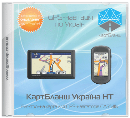
Ми раді повідомити про вихід нової версії карти України КартБланш Україна НТ 2016.06 для навігаційних пристроїв Garmin® та Kenwood®!
Відносно попередньої версії карти 2015.03, до нової версії внесено наступні зміни:
Таким чином, карта КартБланш Україна 2016.06 включає детальне покриття 942 населених пунктів (53,7% від населення України), у тому числі 184 міста; майже все це покриття (46,9% від населення) включає адресний пошук. Карта містить детальне покриття 11 районів Київської області (Білоцерківського, Бориспільського, Бородянського, Броварського, Васильківського, Вишгородського, Кагарлицького, Києво-Святошинського, Макарівського, Обухівського та Переяслав-Хмельницького), дворові проїзди багатьох міст. Загальна довжина дорожньої мережі складає 477 000 км, включно з великою кількістю ґрунтових доріг.
У черговий раз дякуємо численним користувачам наших карт за зворотний зв’язок та пропозиції щодо покращення карти. Побажання, не враховані у цій версії карти, буде обов’язково враховано в наступних версіях.
Всі торгівельні марки, згадані на сайті, є власністю їх законних правовласників.
© 2005–2016 «Карт Бланш Україна»


